
St Paul’s shipwreck : St Paul’s Bay or St Thomas Bay ?
Source : The Malta Independent, 25th April 2010
… just before Pope Benedict XVI visited Malta to celebrate the 1,950th anniversary of St Paul’s shipwreck on the island, a video that claimed St Paul had been shipwrecked in St Thomas Bay and not in St Paul’s Bay as tradition has it, was circulated by e-mail through youtube.
After four centuries of Pauline tradition in Malta, many firmly believe that St Paul’s vessel ran aground in St Paul’s Bay or close to St Paul’s Islands, (Selmunet as it is commonly referred to by Mellieha residents), which got its name from St Luke’s account of the shipwreck.
The short documentary was produced by a certain Bob Cornuke, an American who claims to be a former forensic scientist and now heads the BASE (Bible Archaeology, Search and Exploration) Institute.
The Malta Independent on Sunday caught up with two key people to learn more about divergent theories on where St Paul was really shipwrecked.
James Mulhulland (picture) believes that St Paul was shipwrecked in St Thomas Bay and tends to agree with Mr Cornuke’s theory, while Mark Gatt, an experienced diver with a passion for the St Paul story, supports the theory that St Paul was shipwrecked not in but close to St Paul’s Bay, in Salini Bay.
St Paul’s travels in the Acts of the Apostles
Being a mariner himself, St Luke was in a position to give a detailed account of St Paul’s voyages from a place that used to be known as Adramyttium in the Middle East of the Roman era, to Europe.
“We boarded a ship from Adramyttium about to sail for ports along the coast of the province of Asia, and we put out to sea,” wrote St Luke.
It is thought that they were sailing on board a massive Alexandrian ship. Such a ship was used to export grain from Egypt to other Mediterranean countries. Grain was indispensable because the grain trade was the basis of the economy at the time.
It is also thought that they were not travelling in the sailing season, probably in October or November, despite the fact that Malta celebrates St Paul’s shipwreck in February, but the captain had a cargo to deliver and had 276 prisoners, including St Paul, to hand over to a centurion in Rome named Julius, who belonged to the Imperial Regiment. St Luke also says that St Paul warned the centurion and the ship’s captain about the inclement weather.
St Luke often made reference to the bad weather they experienced :
“From there (Sidon) we put out to sea again and passed to the lee of Cyprus because the winds were against us. When we had sailed across the open sea off the coast of Cilicia and Pamphylia, we landed at Myra in Lycia. There the centurion found an Alexandrian ship sailing for Italy and put us on board. We made slow headway for many days and had difficulty arriving off Cnidus. When the wind did not allow us to hold our course, we sailed to the lee of Crete, opposite Salmone. We moved along the coast with difficulty and came to a place called Fair Havens, near the town of Lasea.”
He dedicates a whole chapter to the bad weather experienced since leaving the harbour:
“A gentle south wind began to blow, they thought they had obtained what they wanted; so they weighed anchor and sailed along the shore of Crete. Before very long, a wind of hurricane force, called the ‘northeaster’, swept down from the island. The ship was caught by the storm and could not head into the wind; so we gave way to it and were driven along. As we passed to the lee of a small island called Cauda, we were hardly able to make the lifeboat secure.”
In his next chapter, St Luke goes into detail of the shipwreck. After 14 nights on board a ship being tossed to and fro by the waves, the sailors took soundings, which indicated that they were approaching land. Although they were experienced sailors, St Luke says that they could not recognise the island.
When daylight came, they did not recognise the land, but they saw a bay with a sandy beach, where they decided to run the ship aground if they could. Cutting loose the anchors, they left them in the sea and at the same time untied the ropes that held the rudders. Then they hoisted the foresail to the wind and made for the beach. But the ship struck a sandbar and ran aground. The bow stuck fast and would not move, and the stern was broken to pieces by the pounding of the surf.
St Luke gives various details that have led historians to try and identify the bay in which St Paul run aground.
The St Thomas Bay theory
Mr Mulholland who had met Mr Cornuke when he visited the Maltese islands recently, explained in detail this theory, which goes against the tradition that St Paul was shipwrecked in the northern part of the island.
According to Mr Cornuke, St Paul was shipwrecked in St Thomas Bay. He basically took four factors mentioned in the Acts of the Apostles and matched them to the geographical features of St Thomas Bay.
Basically, he wanted to find a bay with a sandy beach, a sand bar where two seas meet in an area where the seabed is 90 feet deep and a place the sailors would not have recognised.
St Thomas Bay fits exactly with this assumption, Mr Mulholland explained, as it has a sandy beach with Munxar Reef probably being the sand bar referred to in the Acts, explained Mr Mulholland, whose passion for St Paul’s story started after an outing to St Paul’s Islands.
The seabed at Munxar Reef is also approximately 90 feet deep and it was a bay the sailors couldn’t have recognised because it was not a port. Doubts cannot be cast on these four aspects that were scientifically proven, he said.
He believes that St Paul’s Bay is too wide for the ship to get stuck on a reef and at the time St Paul’s Bay was a port so they would have recognised it.
Back in the 1960s, Maltese divers found a number of Roman era anchors lying on the seabed of the Outer Munxar reef. The four anchors found there are displayed at the Maritime Museum. Cornuke claims these are the anchors of St Paul’s ships.
However, this claim has been disputed by many.
St Paul’s Bay or Salini Bay ?
We also spoke to Mark Gatt, who supports the idea that St Paul was shipwrecked in the northern part of the island. He believes that St Paul was shipwrecked towards Salini Bay rather than St Paul’s Island. Mr Gatt who is a diver and a civil protection volunteer, had found an anchor outside Salini Bay, after studying Commodore Salvino Scicluna’s map. The anchor has two inscriptions, ‘Isis’ and ‘Sarapi’ carved in the surface of its led.
According to Mr Gatt, similar lead anchor stocks were in use for approximately 200 years, from 100 BC to 100 AD. It could be that many of the stocks found originally may have had inscriptions that would have eroded after 2000 years underwater. This one was preserved as it was discovered on its side with the inscription buried in the sand. In fact the last letter in SARAPI might have been an ‘S’, which had been eroded due to the weight of the stock in the middle and the ends having been found above the sand.
This map, chartered in the late 1960s and early 1970s, when scuba diving started being used for research purposes, indicated a number of old anchors on the seabed outside Salini Bay. Commodore Scicluna’s map showed some six to eight anchors on the Salini seabed, some of which were unfortunately stolen, explained Mr Gatt.
He added that in the Roman era Salini bay was a port. It was only when the Knights came to Malta that the bay was turned into salt pans. Before that the sea came up to the area known as Burmarrad and used to be mostly marshland. This coincides with the number of locations such as St Publius villa in San Pawl Milqi, which tradition says St Paul visited during his short stay in Malta.
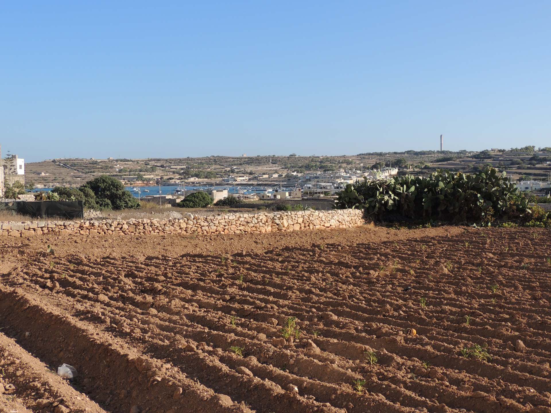
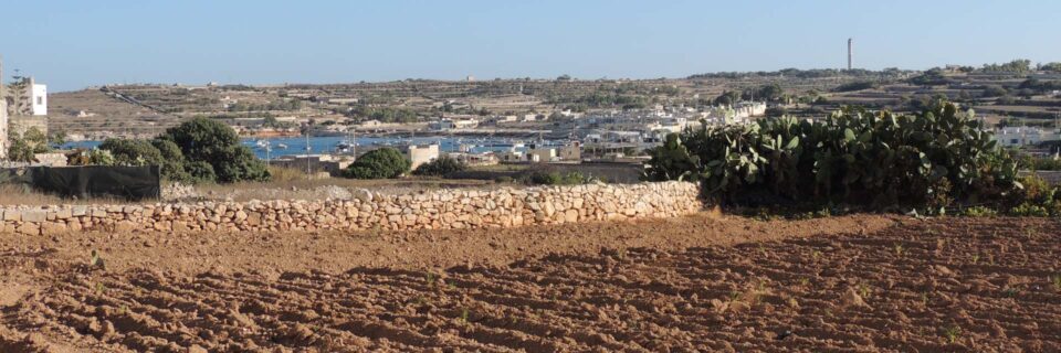
St Paul’s Bay

 2022 Lefkas
 2015 Mer de Sicile
 2013 Malte
 2011 Tour de Corse
 2010 Sardaigne
 2008 Cote d’Azur